
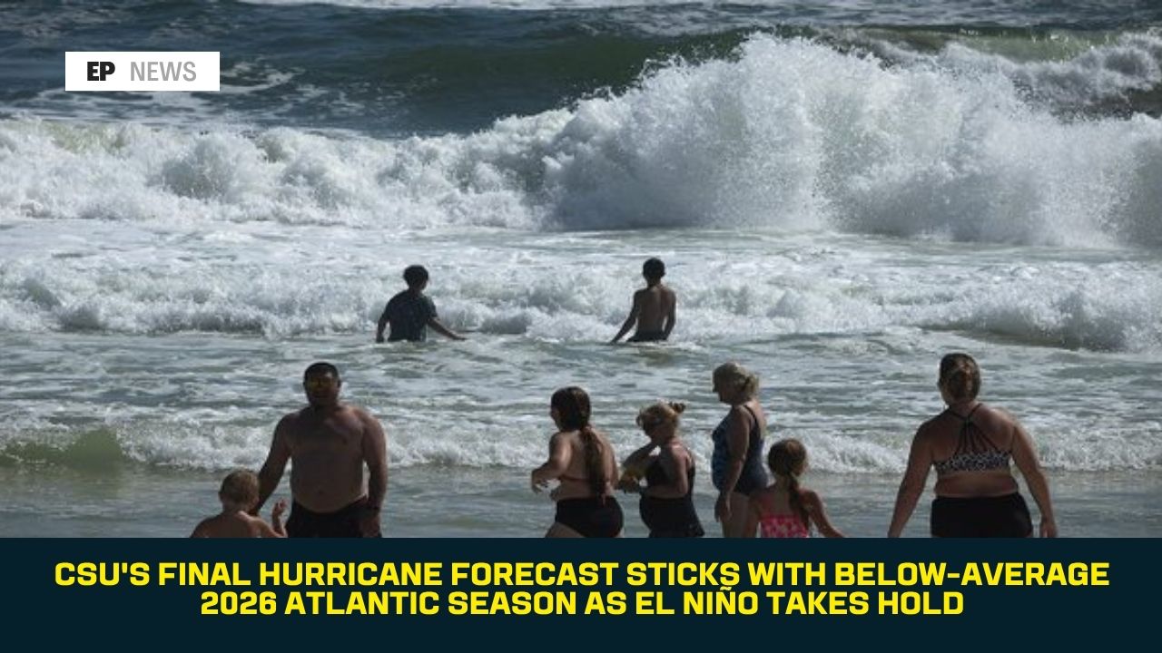
CSU’s Final Hurricane Forecast Sticks With Below-Average 2026 Atlantic Season as El Niño Takes Hold
Colorado State University released its final seasonal outlook for the 2026 Atlantic hurricane season on Wednesday, August 5, keeping its forecast unchanged from July: a below-average season of nine named storms, four hurricanes, and just one major hurricane, as a strengthening El Niño pattern continues to suppress storm development across the basin.
What the Forecast Says
CSU’s August update maintains its prediction of nine named storms, four hurricanes, and one major hurricane for the 2026 Atlantic season, along with an Accumulated Cyclone Energy (ACE) value of 50, according to St. John Source. ACE is a wind-energy index that measures the combined strength and duration of all named storms during a season — calculated by adding the squares of each storm’s maximum sustained wind speed, measured every six hours while the system maintains at least tropical storm strength. Powerful, long-lasting hurricanes generate substantially higher ACE values than weaker or short-lived storms, so the metric captures overall seasonal intensity rather than just storm counts.
This outlook falls well below a typical Atlantic season. According to Weather.com, an average season produces roughly 14 named storms, seven hurricanes, and three major hurricanes, based on the 1991-2020 historical record — meaning CSU’s forecast anticipates roughly two-thirds the typical number of named storms and just over half the usual number of hurricanes.
Why Forecasters Expect a Quiet Season
The consistent explanation across CSU’s forecast updates this year has been the influence of El Niño, a climate pattern marked by warmer-than-average sea surface temperatures in the tropical Pacific Ocean. According to WTOK, El Niño conditions lead to increased wind shear over the Atlantic Basin — including the Atlantic, Gulf, and Caribbean — which makes it more difficult for tropical storms to organize and strengthen.
WINK News’s coverage of the update noted a second contributing factor: below-average sea surface temperatures currently observed in the Atlantic Basin itself, adding to the wind shear effect in limiting the fuel available for storm development.
A Notable Adjustment: Lower Landfall Odds
While the overall storm-count forecast didn’t change from July, CSU did make one meaningful adjustment in its August update. According to ClickOrlando, the university lowered its landfall probabilities compared to the July outlook. Forecasters explained the logic behind that shift directly: as more of the hurricane season passes without significant activity, the statistical odds of a hurricane eventually making landfall naturally decrease, since there’s simply less of the season left for a storm to develop and threaten the coast.
Timing Still Matters, Even in a Quiet Season
Despite the below-average outlook, CSU’s forecast comes right as the Atlantic hurricane season is entering its most active stretch. Peak hurricane season historically runs from roughly August 20 through early October, with the statistical peak falling around September 10, according to prior CSU forecast commentary from lead researcher Phil Klotzbach. Historically, about 95% of all major hurricanes reaching Category 3 strength or higher have occurred after August 1 — meaning the months directly ahead, even in a quieter-than-normal year, still carry the highest statistical risk of the season.
As of early August, the National Hurricane Center’s tropical outlook showed no tropical cyclone formation expected in the Atlantic, Caribbean Sea, or Gulf over the following seven days, according to the agency’s most recent outlook — consistent with the quiet pattern CSU’s forecast describes, though forecasters caution that a below-average season prediction doesn’t eliminate the risk of individual storms, including potentially significant ones.
How This Compares to Last Year
The contrast with 2025 is notable. According to CSU’s own forecast archive, the 2025 Atlantic hurricane season was actually above-normal, producing 13 named storms, five hurricanes, and four major hurricanes — with three storms, Erin, Humberto, and Melissa, reaching Category 5 intensity. This year’s forecast represents a significant swing in the opposite direction, driven primarily by the shift from last year’s climate pattern to this year’s strengthening El Niño.
FAQ
What is CSU’s final forecast for the 2026 Atlantic hurricane season? Nine named storms, four hurricanes, and one major hurricane, with an Accumulated Cyclone Energy value of 50 — unchanged from the university’s July forecast.
Why is CSU predicting a below-average season? Primarily due to a strengthening El Niño pattern, which increases wind shear across the Atlantic Basin and makes it harder for tropical storms to organize, combined with currently below-average sea surface temperatures in the Atlantic.
Did anything change from CSU’s July forecast? The storm-count numbers stayed the same, but CSU lowered its landfall probability estimates, reflecting that less of the season remains for storms to develop and threaten the coast.
Is any tropical development expected soon? As of early August, the National Hurricane Center’s outlook showed no tropical cyclone formation expected in the Atlantic, Caribbean, or Gulf over the following seven days.
Does a below-average forecast mean the coast is safe from hurricanes? No. Even in quieter seasons, individual storms — including potentially major ones — can still develop and make landfall, and peak hurricane season, when roughly 95% of major hurricanes historically occur, is only just getting underway.
Conclusion
CSU’s decision to hold its forecast steady in its final seasonal update signals fairly high confidence in the below-average outlook, even as the Atlantic heads into its historically busiest stretch. The lowered landfall probabilities offer some additional reassurance for coastal residents, but forecasters continue to stress that a quiet seasonal forecast is not a guarantee — coastal communities should maintain normal hurricane preparedness through the season’s traditional November 30 end date, particularly as the peak weeks of August and September get underway.
Sources: WTOK, WINK News, St. John Source, ClickOrlando, Weather.com, Colorado State University Tropical Weather and Climate Research (reporting dated August 5, 2026).