
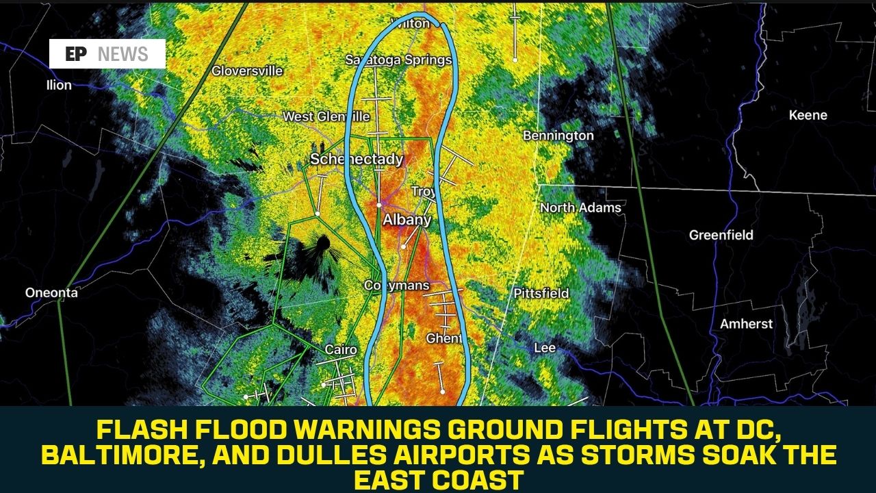
Flash Flood Warnings Ground Flights at DC, Baltimore, and Dulles Airports as Storms Soak the East Coast
A slow-moving storm system dumped heavy rain across the Washington, D.C. region on Sunday, August 2, triggering flash flood warnings, grounding flights at all three major D.C.-area airports, and setting up continued flooding risk across the East Coast into the new week.
What Happened in the D.C. Region
The National Weather Service issued a flood watch for the District of Columbia and large portions of Maryland and Northern Virginia from Sunday afternoon through midnight Monday, warning that excessive rainfall could cause flooding of creeks, streams, and low-lying or poorly drained areas. By mid-afternoon, forecasters upgraded parts of that zone to a flash flood warning, covering northwestern D.C., southeastern Montgomery County, Arlington County, eastern Fairfax County, eastern Prince William County, and the cities of Alexandria and Falls Church.
According to the National Weather Service’s Baltimore-Washington office, the Baltimore-Washington metropolitan area had already received a quick 1 to 2 inches of rain by Sunday afternoon before additional waves of thunderstorms moved through, some capable of “training” — repeatedly passing over the same area — which raises flood risk significantly. Doppler radar indicated between 1.5 and 3 inches of rain had fallen in the warned area by mid-afternoon, with forecasters warning that another 1 to 2.5 inches was possible on top of that, at rainfall rates of up to 1.5 inches per hour.
Central Maryland was also placed under a tornado watch during the height of the storms, according to Fox Baltimore, though the primary threat throughout the event remained flash flooding rather than tornadic activity.
Airports Grind to a Halt
All three major airports serving the D.C. region were affected. According to WUSA9, Ronald Reagan Washington National Airport was placed under a ground stop that ran until 6:45 p.m., with departure delays reaching up to 122 minutes. Dulles International Airport reported departure delays of up to an hour as of Sunday afternoon. Baltimore-Washington International Airport was also placed under a ground stop, though it was lifted before Reagan’s.
A ground stop is a Federal Aviation Administration measure used to limit air traffic into an airport during hazardous conditions — planes elsewhere in the country that are scheduled to fly into the affected airport are held on the ground at their point of origin to prevent dangerous congestion in the air or on the runway.
WTOP News reported that the ground stops affected all three airports for several hours over the course of the day, as the storm system remained largely stalled over the region rather than moving through quickly.
Flooded Roads and Local Impacts
As the storms moved through, reports of flooded roadways began emerging across the region. In Virginia, a portion of the westbound lanes of Interstate 66 was affected by flooding, according to the Virginia Department of Transportation. ARLnow reported that Arlington County was among the areas placed under the more urgent flash flood warning as the storms intensified Sunday afternoon.
Forecasters reiterated standard flood safety guidance throughout the event: it’s extremely difficult to gauge how deep water is over a roadway, particularly at night, and the National Weather Service continues to advise drivers to never attempt to cross a flooded road — commonly summarized as “turn around, don’t drown.”
Part of a Broader East Coast Pattern
The D.C.-area flooding wasn’t an isolated event. According to AccuWeather, widespread rain and thunderstorms have been soaking a broad stretch of the East Coast since Saturday, with the potential for localized flash flooding and travel disruptions extending from the Ohio Valley to the Northeast into early this week. Isolated areas were forecast to see an additional 3 to 5 inches of rainfall on top of what had already fallen over the weekend, according to weather.com.
AccuWeather also noted that the central and eastern U.S. remain at risk for additional severe storms as the broader weather pattern continues to produce repeated rounds of rain, meaning the D.C. region’s Sunday flooding is likely to be one of several similar events across the East Coast over the coming days rather than a single, isolated storm.
What Comes Next
The flood watch covering the D.C. metro area was set to remain in effect until midnight Monday, and forecasters cautioned that additional rounds of showers and thunderstorms remained possible through the start of the week. Given how saturated the ground already was heading into Sunday’s storms, additional heavy rainfall in the same areas carries an elevated risk of flooding even from storms that wouldn’t normally be considered severe.
FAQ
Which airports were affected by ground stops? Reagan National, Dulles International, and Baltimore-Washington International airports were all placed under ground stops or significant delays on Sunday, August 2, due to thunderstorms and flash flooding in the region.
How much rain fell in the D.C. area? The Baltimore-Washington metro area received roughly 1 to 2 inches of rain by Sunday afternoon, with radar indicating an additional 1.5 to 3 inches falling in warned areas as storms continued, and forecasters warning of up to 2.5 more inches possible.
Was a tornado warning issued? Central Maryland was placed under a tornado watch during the height of Sunday’s storms, though the primary hazard throughout the event was flash flooding rather than confirmed tornadic activity.
Is the flooding risk over? No. The flood watch for the D.C. region remained in effect until midnight Monday, and AccuWeather forecasts additional rounds of heavy rain and flash flooding risk continuing across the East Coast, from the Ohio Valley to the Northeast, into early this week.
What should drivers do if they encounter a flooded road? The National Weather Service advises never driving through a flooded roadway, since it’s very difficult to judge water depth, especially at night. The standard guidance is “turn around, don’t drown.”
Conclusion
Sunday’s storms were a clear reminder of how quickly a slow-moving system can disrupt a major metro area — grounding flights, closing roads, and triggering flash flood warnings within hours. With the same unsettled pattern expected to linger across the East Coast into the new week, and ground conditions already saturated from the weekend’s rainfall, residents from the Ohio Valley to the Northeast should stay alert for further flash flood watches and warnings as additional rounds of storms move through.
Sources: WTOP News, WUSA9, ARLnow, Fox Baltimore, AccuWeather, weather.com, National Weather Service Baltimore-Washington (reporting dated August 2, 2026).